The park, 8050 acres (33 km2) in area, is located on the left bank of the Illinois River at its confluence with the Mississippi River, and is about 21 miles from the confluence of the Missouri River. Such a meeting of the rivers, long the only good means of long-distance transport, helped make this region a center of trade, travel, and settlement.
The park is named after Jacques Marquette (1637-1675) of the Society of Jesus, who explored this area with Louis Joliet. Some excerpts of Father Marquette's journal are here.
Père is French for 'father' meaning priest, and is pronounced like pear, pair, or pare. I often hear people mistakenly call this place Pierre Marquette. Pièrre is French for 'rock', and hence also Peter.
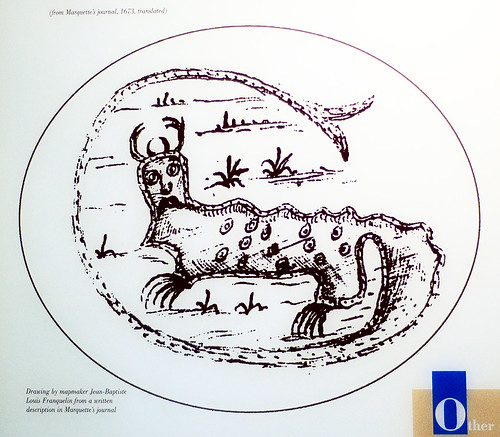

Photograph of an exhibit in the park museum.
Fr. Marquette saw paintings of monsters on the cliffs overlooking the river, and this is an early drawing of one of the monsters. These rock paintings have since disappeared. This led to the legend of the Piasa Bird; this monster has been repainted in a somewhat different style and is now used as a symbol of the nearby town of Alton, Illinois.
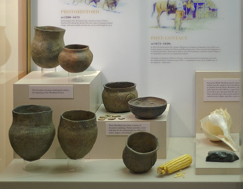
Indian pottery, of the Woodland style, also in the museum.
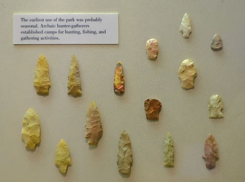
Arrowheads.
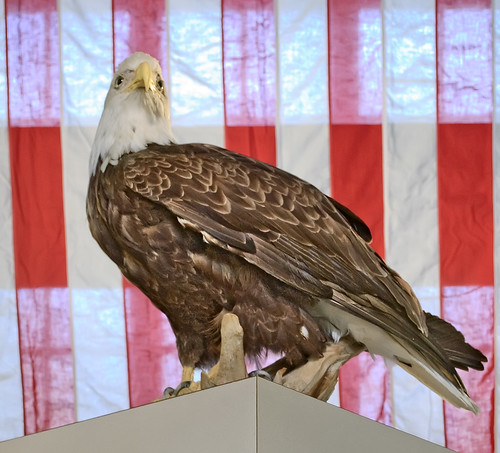
A Bald Eagle, symbol of the United States. This species has become quite common in the river regions of Saint Louis during the wintertime, making this area popular with birders. Located on the Mississippi Flyway, a route used by migrating birds, this area has a spectacular concentration of bird species. Good places to see eagles include the dam area at Alton and the Chain of Rocks Bridge.
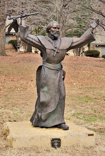
Statue of Fr. Marquette holding a calumet, by Kirk St. Maur.
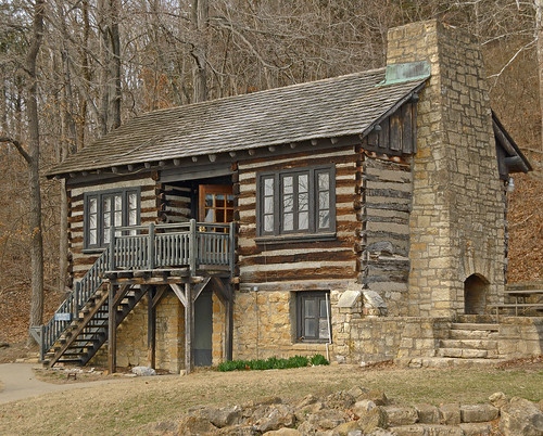
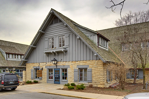
The park is perhaps best known for its rustic lodge, built in the 1930s. It is not far from the river on a terrace above flood stage, and is below a rugged ridge, making this a practical place to build something. Archaeologists have discovered that this site was also used by the Indians.
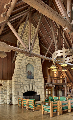
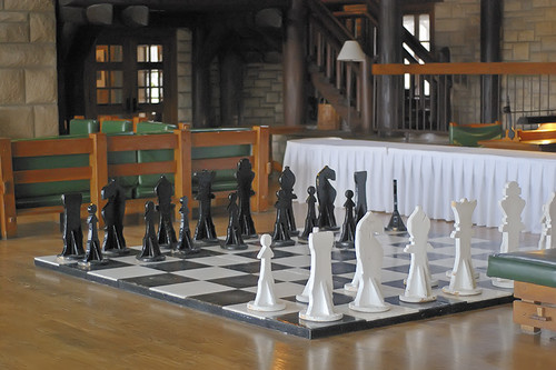
Interior of the lodge, an excellent example from what was called the "golden age of rustic design".
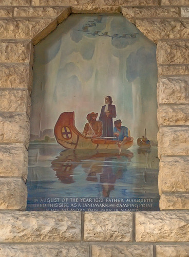
IN AUGUST OF THE YEAR 1673 FATHER MARQUETTE
USED THIS SITE AS A LANDMARK AND CAMPING POINT.
IN HIS MEMORY THIS PARK IS NAMED.
This lodge has been a favorite of my family for years. My brother and I used to play chess on this giant board. He usually won.
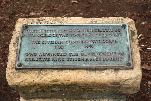
The depression-era Civilian Conservation Corps built many structures in this park, and the craftsmanship is superb. The CCC was a public relief agency, designed to relieve unemployment. Economic depression and war were the hammer and anvil which forged the “Greatest Generation” but at a severe cost.
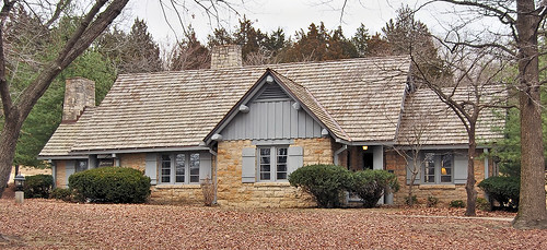
One of the cabins in the park. Lodging here is typically booked far in advance.
The park is geologically interesting.
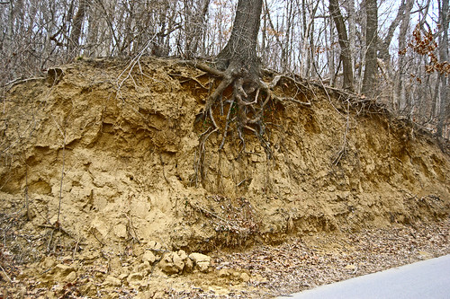
This is a bank of loess, or fine-grained silt, which covers the ridges here. The vast glaciers that covered the region ground rock into dust, and the wind deposited the dust here. This soil does not erode easily, and occasionally people carve letters into the exposed dust.
A mountain summit in the park, McAdams Peak, was formed by extensive faulting, and the rock strata below it are tilted at severe angles, in contrast to the uniform flat rock layers nearby. At the base of the fault is Twin Springs, which lets out a trickle of water from two apertures, which provides enough warmth to allow for some green foliage to survive all year. All this is seemingly impossible to photograph well; you have to visit it instead.
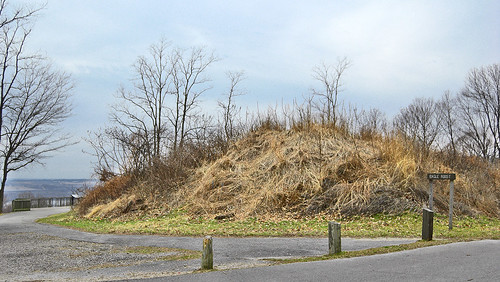
A mound on the top of a ridge. To my eye, this is most likely an Indian burial mound. It is in a lonely, but beautiful place, good for a small cemetery.
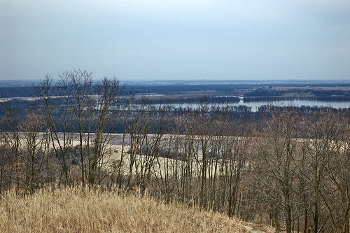
The view of the Illinois River from the base of the mound. The Illinois is a smallish river in a large valley: geologists think that the Mississippi River used to fill the lower valley, until it was relocated to the west by glaciation.
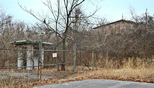
The remains of an old Nike Missile base on a ridgetop. This ground-to-air missile system, deployed around many cities of the U.S., was designed to counter bomber fleets, but quickly became obsolete.
Sorry for the poor quality of this photo. Overcast days seemingly ought to be good for photography, due to soft, even illumination, but rather those days steal color from the camera's sight.
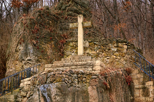
Near the mouth of the Illinois River is the monument to Father Marquette.


Great photos. The "Pierre" Marquette pronunciation is one of my pet peeves. :-)
ReplyDeletethanks for this informative post....I enjoy the the French history of the illinois and mississippi valley
ReplyDelete