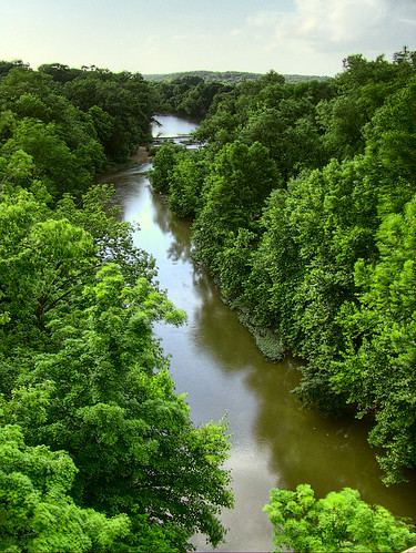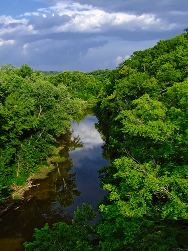
A view of the Bourbeuse River at Noser Mill. 'Bourbeuse' is French for 'muddy', and that is an appropriate name for this slow-moving, silt-laden stream.

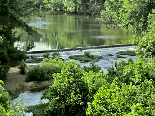
A closer view of the Noser Mill dam; water pours over the top. Click here for old photographs of the mill itself, which reportedly burned in the year 2000.
Deitrich F. Voss from Hannover, Germany built the mill in 1852, and it got its present name when it was sold in 1878 to John J. Noser, a Swiss immigrant. Click here for more history. The concrete dam dates from 1910 and replaced an earlier wooden dam.
At the time of European colonization, an Indian village of 200 to 300 cabins, later known as Shawneetown, existed on the banks of the Bourbeuse. It inhabitants were frequent visitors to Saint Louis until they moved further west in 1812.
Whereas the French and Indians named the rivers and streams in this region, it was later English-speaking setters who named much of the geography in the interior. 'Devil's Backbone' is the name of the sharp ridge around which the river here meanders.


The river is beautiful, mainly untamed, and is an unpolluted delight for fishermen. Due to its normally shallow depth and gentle flow, the main kind of transportation on this stream, now as it was centuries ago, is the canoe. The only power boats typically seen on this river are specially-designed jet boats, with shallow draft, no propeller, and resilient metal hulls.
Click here for detailed scientific information on the Bourbeuse River.


No comments:
Post a Comment