See this article in STLtoday:
Days appear numbered for Allenton, Mo.This small Ozarks town just off of Interstate 44 in Saint Louis County, Missouri, is to be wiped out soon. It will be replaced by a 1000-acre housing development and big-box retail. Allenton, due to an accident of geography, is a remarkably rural area located very close to intensive development.
Not only may private Eminent Domain be used here to force people out of their homes, but it is also being financed through Tax Increment Financing, or a TIF. This TIF, which provides tax dollars for private use, can be used because the town has been declared blighted by the County. This development uses both the police and taxing power of government for private purposes against property rights. If you do not generate enough tax dollars, your property may be targeted next.
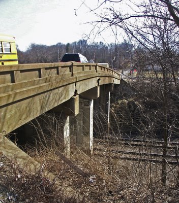
This narrow, steep bridge is one of only two good ways to drive into Allenton and is the most convenient from Interstate 44, being right at an exit. The other route comes in from Eureka to the east and is miles out of the way. That Allenton has constricted access has allowed it to keep its rural character. You can get into Allenton from the west by fording Fox Creek and traveling down a farmer's dirt road: four wheel drive vehicles with high clearance are required to do this. From the south, Allenton is only accessible by boat via Hunter's Ford Access on the Meramec River.
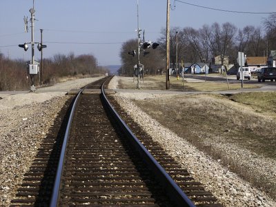
Allenton is on the other side of the tracks from the rest of the county. These railroads, dating from before the Civil War, were laid out by James P. Kirkwood, namesake of the nearby town. He famously said something like "Give me enough whiskey and a bunch of Swedes, and I'll build a railroad to Hell". This was one of the first transcontinental railroads, helping to bring about America's Manifest Destiny of controlling the continent from sea to sea. Allenton exists because of the railroad, as a home to railroad workers and as a station to load crops from the nearly farms.
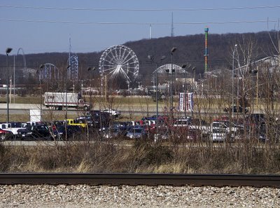
Directly across Interstate 44 from Allenton is the Six Flags amusement park. Turn around, and you see a very small town surrounded by farms and wilderness.
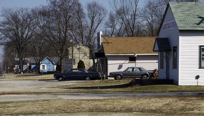
Main Street.
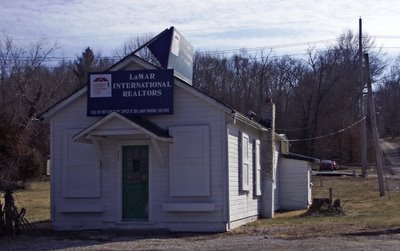
This real estate office has just one final sale.
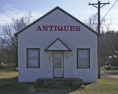
Antique store. To its left is a pawn shop, still open, and to its right is a former post office, which closed in 2005.
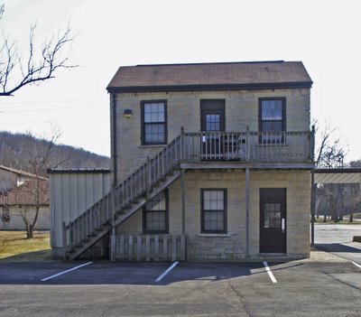
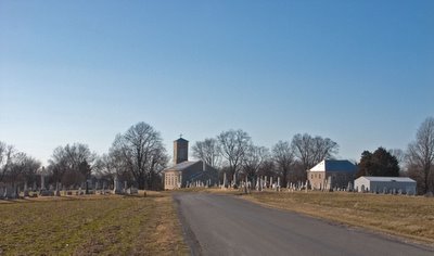
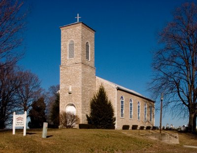
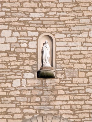
This old stone building is a part of Word of Life church, one of the few structures in town that will be kept—for the time being.
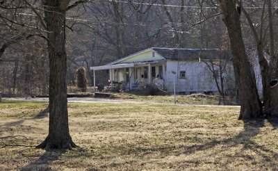
This home could be found almost anywhere in the Ozarks. The odd roof angle shows that this house is probably very old, and may even have been once a log cabin.
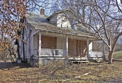
Boarded up. Cutting-edge New Urbanists put porches like these on their home designs.

A home also like those found everywhere in the Ozarks. Notice the metal roof, one of the most durable and effective roofing materials around, and common in rural areas around Saint Louis.
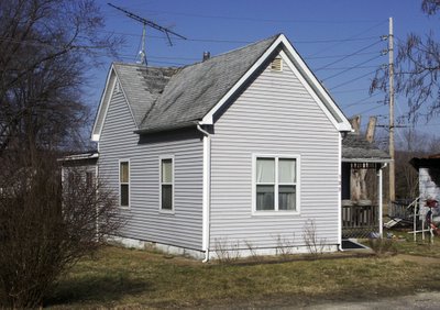
Old, small, but neat and well-sided.
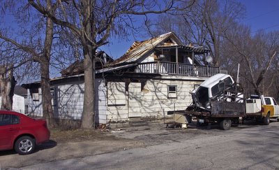
Almost gone.
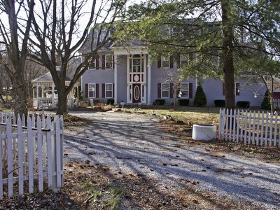
Some homes in Allenton are quite upscale; this is right next door to the last two. Allenton had the advantage of rural living that was close to transportation and shopping. Now this home will either be destroyed or will have many neighbors.
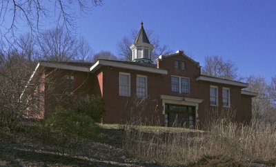
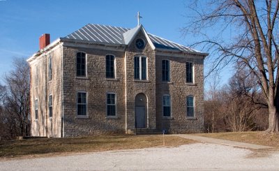
The old Allenton School, of classical design. Small, local schools like this were responsive to the needs of the parents, and children could walk here.
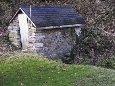
A spring house. It was once probably used as a refrigerator, since spring water here has a constant temperature of about 56 degrees Fahrenheit
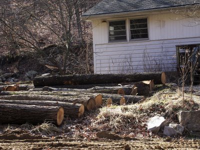
Land clearance is underway. These logs are valuable property. Timber cutting is a big industry in the Ozarks.
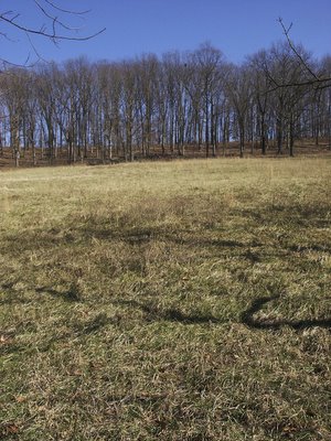
Looking up a hillside. Beyond the trees, hidden by the ridgetop, is a large housing development.
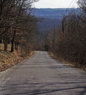
If the Platonic Form of the Ozarks could be seen with the body's eye, it might look something like this, with narrow roads, and ridge upon ridge of rolling hills.
The geographer may define the Ozarks as an ancient uplifted plateau with deeply entrenched rivers, one of the oldest in North America, that extends across most of southern Missouri and northern Arkansas, with portions in Kansas, Oklahoma, and even southern Illinois. This geographic Ozarks extends even into Saint Louis County, with the Anitre Rise along Interstate 44 being its edge; or perhaps it even extends into western Kirkwood, with the picturesque Sugar Creek Valley and its early 1970s Contemporary-style homes favored by artists. It most certainly does not extend into the City of Saint Louis itself.
The demographer may define the Ozarks as an area of people of predominately Scots-Irish descent, who moved here in the early 19th century, who avoid large-town life, and who practice forms of conservative, Pentecostal Christianity.
But the Ozarks are often described by what they are not. A long-term resident of the Ozarks, the true Ozarks, would say that Springfield is not the Ozarks, nor is Branson, or even the small town of West Plains in Howell County; certainly nothing in Saint Louis County can be the Ozarks. And if that resident is completely honest, he would have to say that he does not live in the Ozarks either: the Ozarks is always somewhere else, a place of myth and legend. And after development, this area will no longer be a part of this Ozarks of the heart and imagination, for the Ozarks will be someplace else, but not here.
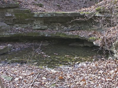
This is a spring, off of Hunter's Ford Road. Modern construction often hides these, with their outlet draining into a sewer pipe. The spiritual significance of springs is lost on the modern mind, and instead are a nuisance, spilling water where it is not wanted. Some moderns, strangely, may even look one of these and assume that the owner must have placed an electrical water pump inside, for how could water flow out of rock by itself?
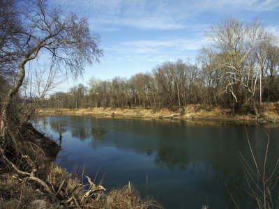
Meramec River. This river is spring-fed and allows boating year-round. Only a little bit of commercial traffic still remains on this river. It once was used to haul iron, lead, and furs from the interior of the state
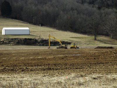
An old farm being dug up in Allenton Bottoms.
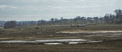
Clearance underway in Allenton Bottoms, on the floodplain of the Meramec River. It appears that they are digging a lake.
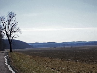
The floodplain of the old channel of the Meramec River. Here the river made a broad horseshoe bend, and the cutting of the river on the sides of the bend made the gap ever smaller, until the river jumped the gap, leaving thousands of acres dry. However, this land does flood, and the road was under water during the Great Flood of 1993.
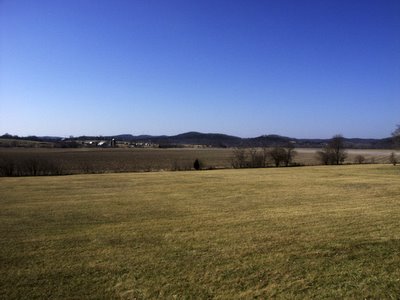
The farm buildings in the background to the left sit on Lost Hill, a geographical term for a point of land that has been cut off from its parent ridge by stream erosion.
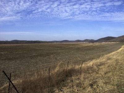
Rich farmland on the western edge of town.
This town is mostly poor, blighted, with some dirt roads, old construction, and few modern conveniences. But residents say that they will miss it very much. That speaks more than the result of any socioeconomic analysis.
Click here for a map.
